

Contact Map
What’s on it
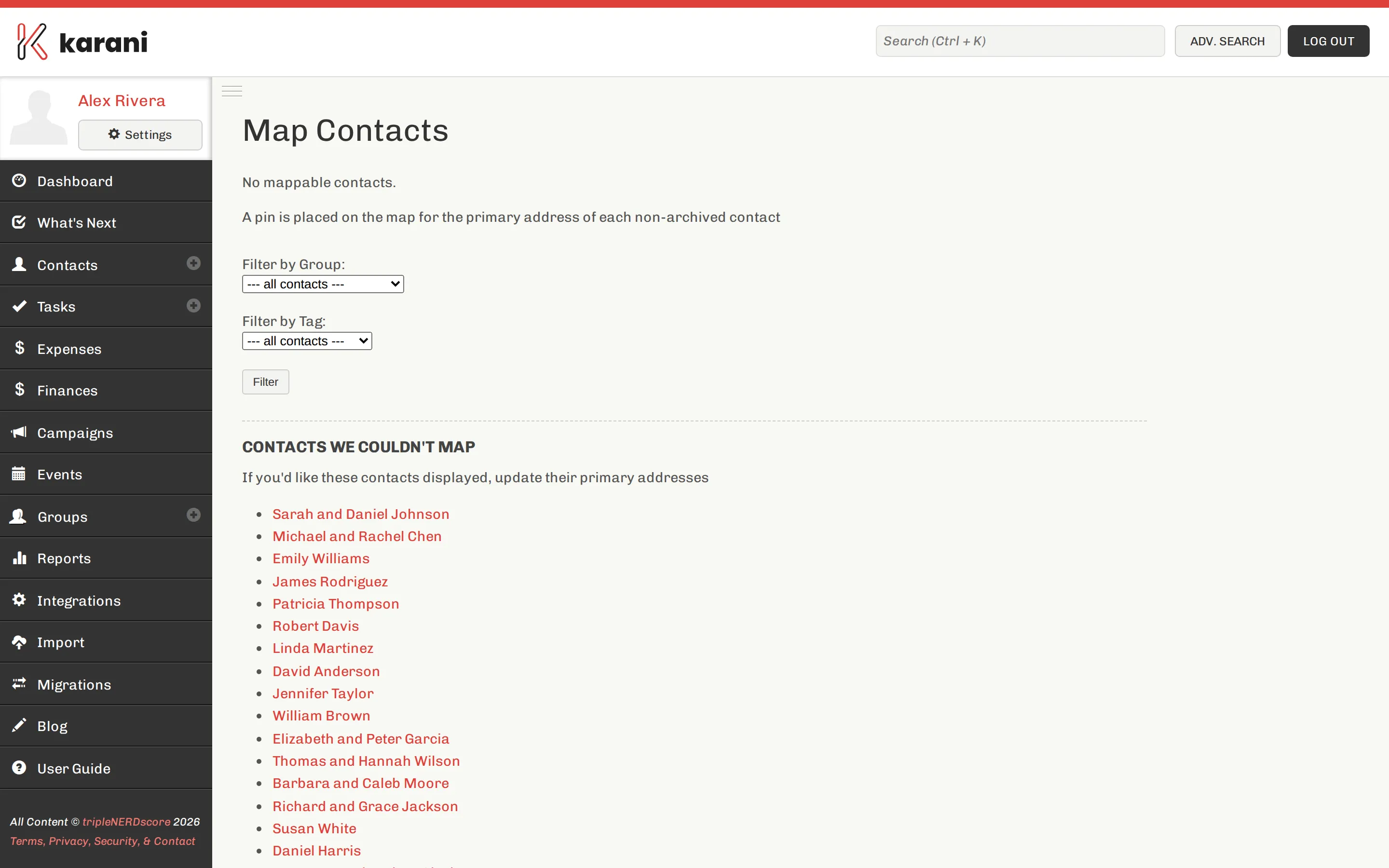
Section titled “What’s on it”Every contact with a usable primary address — see Emails, phones & addresses. Contacts without one aren’t plotted.
Click a pin to open the contact.
What it’s actually for
Section titled “What it’s actually for”Planning a trip. The main use. If you’re going to be in a city, the map tells you who else is nearby and worth adding to the trip. Two extra meetings on a trip you were making anyway is very cheap fundraising.
Seeing your concentration. Most personal support bases are geographically lopsided — one home town, one university, one former employer. Seeing it plotted tends to clarify where the next donor is likely to come from.
Spotting clusters you’d forgotten. A group of six supporters in a city you haven’t visited in three years is a trip worth taking.
Missing pins
Section titled “Missing pins”A contact won’t appear if:
- They have no primary address
- The address is incomplete — no city or postal code
- The address couldn’t be matched to a location
The Grid is the fastest way to find contacts with missing addresses: show the address columns and sort.
Address quality
Section titled “Address quality”Geocoding needs a reasonably complete address. Street plus city plus state/region plus postal code works; a street name alone doesn’t.
If you’re importing contacts, keeping address components in separate columns — rather than one combined field — makes a substantial difference to how many end up on the map.